Geophysical Centre in Dourbes
MAGMINERT

Geophysical survey as a tool for assessing magnetomineralogical changes in soils at archaeological sites endangered by erosion (MAGMINERT)
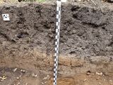
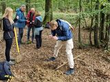
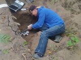
Soil erosion contributes to irreversible losses at many archeological sites, therefore, fast methods for monitoring of soil properties are needed. Iron oxides may provide useful information on soil erosion. The main aim of this project is to link the information obtained by field non-destructive geophysical measurements with the results of in situ and laboratory measurements of magnetic parameters of soils. Pedological and mineralogical characteristics will be complemented by chemical elemental analysis for spatial assessment of soil properties. The work will be carried out at the Prague Vinoř and Prague Bohnice - Zámka hillforts, where field magnetometric surveys and preliminary soil sampling have already been carried out and indicated the feasibility of the proposed objectives. The results will contribute to establishing magnetic mapping as a proxy method for effective assessment of soil erosion and will have a wide application to the creation of data reflecting the soil heterogeneity. Magnetic monitoring will support the need for preventing further soil degradation.
Funding: Bi-lateral Mobility Plus: Czech Academy of Sciences / FNRS, in collaboration with the University of Liège, (2023 - 2025)


